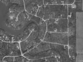
- Location
- New Richmond Wisconsin
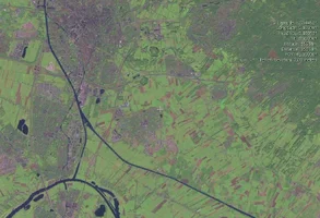
NASA\'s Worldwind program
Take a look at this free program from NASA. Beautiful satellite views of ol' mother earth.
worldwind.arc.nasa.gov/
Take a look at this free program from NASA. Beautiful satellite views of ol' mother earth.
worldwind.arc.nasa.gov/
")